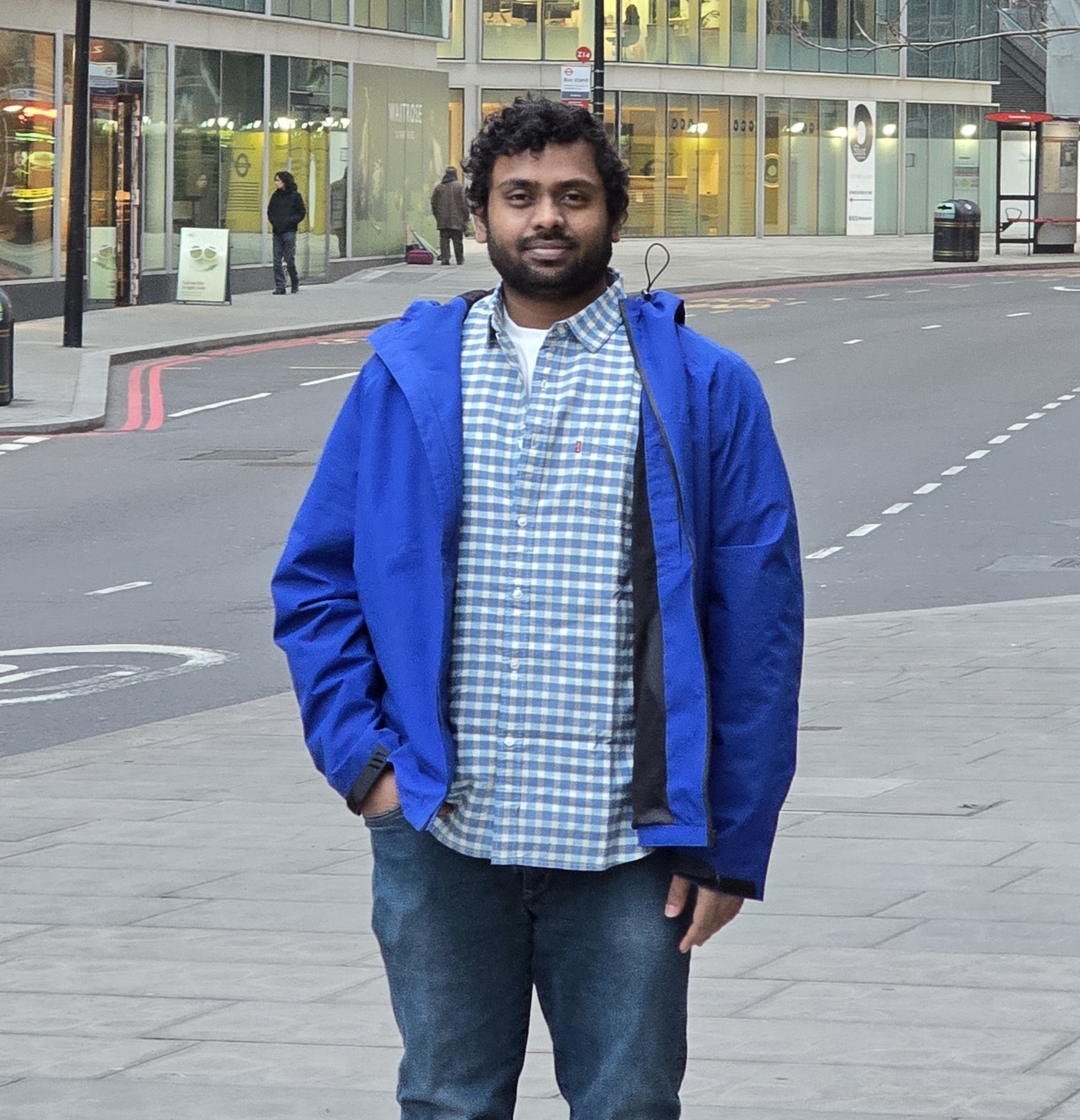
Spectral Imaging for Crop Type Classification
Project Abstract
In this study, I integrate Sentinel-1 radar and Sentinel-2 optical imagery to refine crop type classification, a critical aspect of agricultural monitoring. Employing advanced machine learning techniques, notably Self-Organizing Maps (SOM) and convolutional neural networks (CNNs), this research offers a novel and robust approach to analyzing and managing large-scale satellite data. This study proposes a novel approach to analyzing satellite data, which could revolutionize how crops are monitored across large geographic areas.Methodologically, the project undertakes the preprocessing of satellite data to align and calibrate images from multiple growth cycles, thereby ensuring consistent and reliable input for analysis. The application of convolutional neural networks (CNNs) for feature extraction and an autoencoder architecture for data compression signifies a comprehensive approach to managing and analyzing the complex data sets provided by Sentinel satellites.Initial findings from the project reveal significant improvements in crop classification accuracy. By effectively combining the features extracted from the radar and optical data, the model has demonstrated enhanced capability to differentiate between crop types and understand their phenological stages. These insights are critical for optimizing agricultural practices and improving decision-making processes at various levels of governance and operation.Future expansions of this project could involve exploring additional satellite data sources and more sophisticated AI techniques to refine predictive models further. These advancements will enhance real-time decision-making and precision agriculture. As I continue to develop my career in data science, the skills and insights gained from this project will be instrumental in tackling complex challenges and driving innovation within the field, demonstrating a clear alignment with industry needs and technological advancements.
Keywords: Agricultural Data Analytics, Dual-Sensor Data Integration, SOM and CNN Crop Mapping
Conference Details
Session: Presentation Stream 6 at Presentation Slot 6
Location: GH014 at Tuesday 7th 13:30 – 17:00
Markers: Jay Morgan, Trang Doan
Course: MSc Advanced Computer Science, Masters PG
Future Plans: I’m looking for work
